Published on 18-03-2022
WEB SITE The NASCUM Project (North Adriatic Surface Current Mapping – Monitoring of the coastal marine current of the Upper Adriatic) is co-financed by the INTERREG IIIA Adriatic Transfrontier Community Initiative Program (Axis 1 “Environmental, cultural and infrastructural protection and enhancement of the transboundary territory”) , is coordinated by CORILA and concerns interventions of mainly public interest, also of an infrastructural nature, relating to the integrated management of the environment, energy, transport, telecommunications, spatial planning and culture. Lead Partner: CORILA xxx
Sea surveillance using coastal radar
NASCUM – Interreg III A
The general objective is “to promote socio-economic development and cooperation between the countries of the Adriatic area”. The project activities have the following aims:
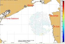
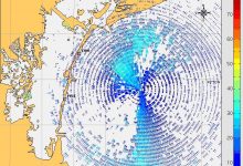
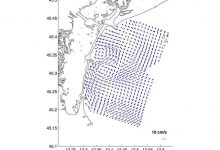
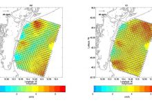
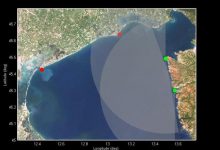
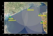
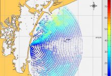
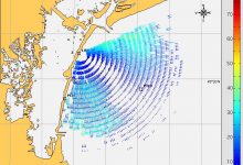
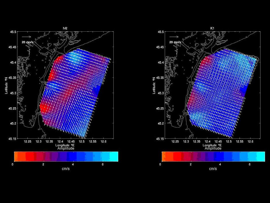
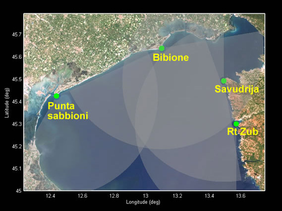
– characterization of the surface circulation of the Upper Adriatic through the use of HF radar
– determination of the evolutionary trend of the main coastal morphological elements as a function of the current field responsible for the erosion and deposition phenomena
– assessment of the possible high risk of oil spilling pollution.
Italian partners: CNR-ISMAR-Venezia, OGS Trieste
Croatian partners: IZOR, Split (Istituto di oceanografia e scienze marine, Spalato); CMR Rovinj (Centro per le ricerche marine Ruder Boskovic)
Media


